A Quiet Rock That's Always Been Watching
Off the coast of Crescent City, California, there's a place you can't step foot on, but you can't ignore it either.
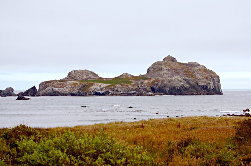
Castle Rock National Wildlife Refuge rises out of the Pacific like it's minding its own business, yet thousands of lives hinge on it every season. From a distance, it looks like little more than a solitary sea stack.
Up close, through a spotting scope or a long lens, you see the motion, wings, flippers, and tides.
Long before federal protection or field guides, it had watchers. And they were hungry, resourceful, and efficient.
Hunting Rights Before State Lines
Long before Castle Rock had a boundary line on a map, the Tolowa people understood its usefulness.
They didn't settle on the island; they didn't need to.
Instead, they based themselves on the mainland headlands, near Castle Rock and Point St. George, where the tide delivered what they needed.
Shellfish, seaweed, and the occasional seal or bird were all close enough to gather or hunt without colonizing the rock itself.
What they did venture out for, however, were bigger prizes.
Sea lions swam thick around the island, and the Tolowa approached in 30 to 40-foot dugout canoes, boats long enough to hold multiple hunters, stable enough to handle the chop at St. George Reef.
They also hunted sea otters, fur seals, harbor seals, and even whales.
Midden sites from that era show juvenile cormorant bones most often, suggesting eggs and young birds were taken in high numbers.
The egg collection was organized and seasonal. By May, men were climbing up to gather whole eggs for eating and hollow shells for garlands.
Despite this use, no archaeological sites have been found on Castle Rock itself, possibly due to its steep terrain and the absence of permanent shelter.
After 1850, this system didn't last.
U.S. settlement in Del Norte County began that year, and within six years, fewer than 300 Tolowa remained alive.
The loss wasn't gradual. It was sharp, near-total, and unrecorded in much detail.
Yet Castle Rock remained where it always had, half a mile offshore, tall, and loaded with birds.
A different kind of ownership would follow.

From Grazing Lease to Extraction Pitch
By the close of the 19th century, Castle Rock had shifted, without fanfare, from Indigenous use to a federal land claim.
There was no management plan or enforcement mechanism.
It sat offshore, steep and windbitten, loosely tethered to the bureaucracies onshore.
What came next wasn't conservation. It was quiet exploitation.
From 1900 to 1920, a lone sheepherder moved in seasonally.
He brought livestock and built a cabin, using whatever flat space he could find among the basalt and shale.
The acreage was barely arable, but that didn't stop the attempt.
The sheep trimmed back what little vegetation clung to the rock's upper ledges.
Then came the collectors. Around 1917, oologists, egg specialists, some working for museums, others just hobbyists with money, began arriving.
The bird colonies were dense, especially during nesting season.
Between then and the 1960s, Castle Rock saw regular visits.
The eggs were gathered, cataloged, and sometimes sold. Nobody regulated it.
Ownership changed again in 1937. Private buyers acquired the island from the U.S. Government with no pretense of stewardship.
They had three main ideas: quarry the rock for jetty fill, scrape guano for fertilizer, or turn the place into a tourist site.
None of those plans materialized. The seas were too rough, the costs too high, the terrain too unforgiving.
Still, the paperwork stood. Castle Rock, now a line item on a deed, waited while the ideas faded out.
The Spring That Pulled It Back
Castle Rock was almost forgotten when the Aleutian cackling goose reappeared in 1975.
The bird had been considered extinct. Then biologists saw it, on this rock, in spring, in numbers that mattered.
The entire known population staged there before pushing north. That changed everything.
The island was still privately owned then, but the rediscovery forced a federal response.
By 1979, the U.S. Fish and Wildlife Service had purchased Castle Rock from The Nature Conservancy.
The deal was framed around habitat: seabirds, seals, and this rare goose, all using the same place.
It was too narrow, too fragile, to leave unprotected.
Castle Rock has remained closed to the public since.
You can look at it from shore, Pebble Beach Drive has an overlook with panels and scope, but access stops there.
The island is for animals now. That boundary, half a mile offshore, isn't marked by fences or signs. But it holds.
In 2012, California added its measure: a 300-foot marine buffer around the island known as the Castle Rock Special Closure.
The rule isn't loud. Boats don't anchor nearby.
What used to be private grazing land, quarry speculation, and a collecting site now runs under twin jurisdictions, federal and state, without foot traffic or flash.
Just wind, birds, and the same rock holding steady in the surf.

The Rock's Blueprint - Fault Lines, Basalt, and Collapse
Geologically, Castle Rock doesn't blend in.
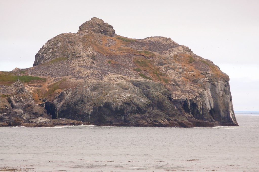
It rises steeply out of the Pacific half a mile offshore, its bulk composed of pillow basalt on the western face and a jagged spine of shale and greywacke on the eastern slope.
These aren't the kinds of layers that settle easily.
They crack, buckle, and shift under pressure, especially when the ocean's pressing.
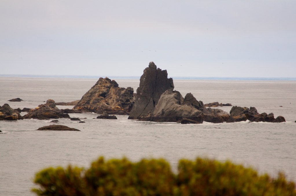
Wave erosion, shaped by north-to-south trending faults, has carved out large sea caves on the island's south side.
These are not uniform openings. They follow the fault lines, veer inland, and hollow out sections that collapse with time.
One such collapse created a 100-foot pit on the eastern side.
Locals speculated that it was the start of quarrying.
It wasn't. That pit formed when a fault opened to the sea beneath an arch of surface rock and then gave way.
The top of the island holds light, sandy subsoils capped by a dark humus layer.
On flatter sections, that humus can run about 12 inches thick.
It's barely enough to support vegetation but more than you'd expect from looking at the island's bare flanks.
Prevailing ocean currents move from north to south here.
Winds lean in from the northwest. Both patterns push and pull against the rock's face, shaping it day by day.
What you see now, battered ridges, cave mouths, tilted ledges, isn't final.
It's a cross-section in motion, weathered down but never leveled.
Winged Populations and Offshore Routine
Castle Rock holds the second-largest seabird nesting site on the Pacific Coast south of Alaska.
At peak, up to 150,000 seabirds use the island. Common murres alone account for roughly 100,000 of them.
They crowd the cliffs, ledges, and crevices, laying eggs in staggered rows, packed shoulder to wingtip.
The rock supports eleven seabird species and one shorebird, the black oystercatcher.
It also draws two types of pinnipeds, harbor seals and northern elephant seals, that breed there.
California sea lions and Steller sea lions use it as a haul-out site.
They don't breed on Castle Rock, but their presence marks the daily rhythms of the tide.
Burrow and crevice nesters take the night shift.
Tufted puffins, fork-tailed storm petrels, Leach's storm petrels, Cassin's auklets, and rhinoceros auklets stay underground or hidden by rock during the day.
Western gulls, which are diurnal, would harass them otherwise.
The puffins are easiest to spot in April and May. Double-crested, Brandt's, and pelagic cormorants work the outer shelves.
Pigeon guillemots dot the flatter patches closer to the top.
Peregrine falcons bred here once but haven't been recorded since the 1940s.
Brown pelicans use the island as a communal roost but don't breed this far north.
Over 21,000 Aleutian cackling geese roost overnight on Castle Rock each spring, lifting off at dawn to feed inland, returning as the sky goes dark.
It's a quiet flight, repeated without ceremony.

🍀


