
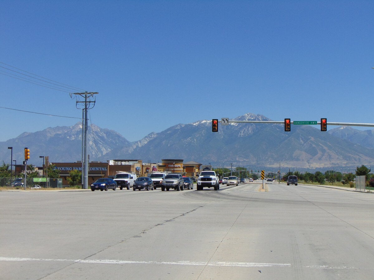
A weekday here is easiest to understand as a set of crossings. Redwood Road carries the older eastern side. Bangerter Highway cuts through the middle. Farther west, Mountain View Corridor serves the newer edge of the Salt Lake Valley.
Between them sit large schools, a hospital on 12600 South, a county library branch, parks with splash pads, and a shopping district big enough to handle groceries, dinner, and a movie without sending residents toward downtown Salt Lake City.
That map explains the appeal better than any slogan about suburban peace. Daily life can be kept within a fairly small orbit, especially for households with children.
The complication is that the orbit is stitched together by major roads.
Census estimates show that driving remains the normal way to reach work for residents who commute, even though a large work-from-home share removes some cars from the morning rush.
This is a practical family suburb, not a cheap one and not a walkable one.
Its strongest promise is that most ordinary needs are close. Its recurring demand is that you drive between them.
Morning Starts On Three Roads
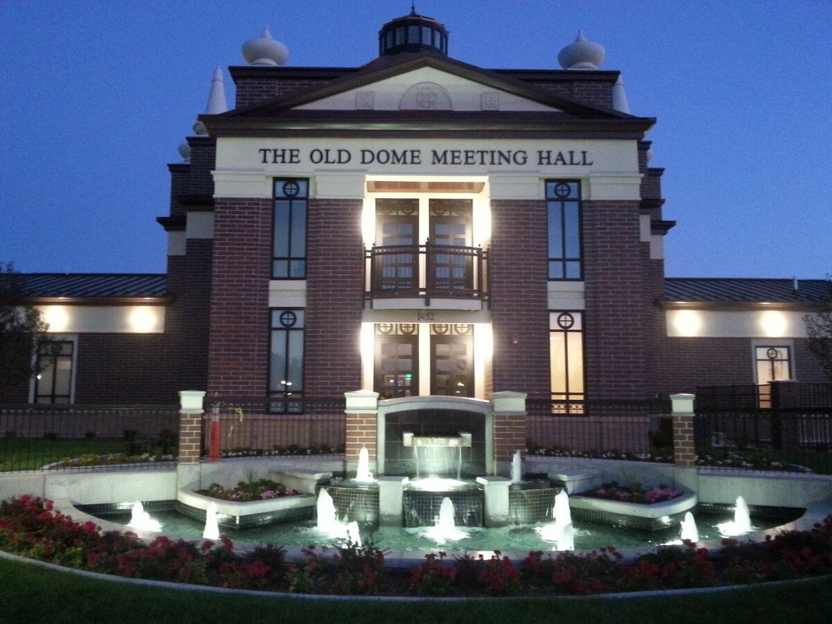
The city's eastern half still turns toward Redwood Road, where the county library branch, municipal offices, older neighborhoods, and local services cluster near 12600 and 12800 South.
The hospital sits farther west on 12600 South.
The largest new commercial concentration is near 13400 South and Mountain View Corridor.
A household can cross several versions of the suburb during one school run.
The commute data support the road-first impression.
In the 2020-2024 American Community Survey, 63.1 percent of workers drove alone, 10.4 percent carpooled, and 23.5 percent worked from home.
All remaining modes together accounted for roughly 3 percent.
The average journey for workers who traveled was 24.8 minutes.
That is not a catastrophic commute. It is a pattern of dependence.
A missed school pickup or an appointment at the hospital is unlikely to be solved by walking to the next block.
The city's 2025 active transportation planning process itself focused on building a more connected system for biking and walking, an acknowledgment that the network is still being improved.
Road construction also enters the routine.
UDOT reopened east-west travel at the new 13400 South interchange in September 2025 after converting the Bangerter crossing into a freeway-style interchange.
The result is better regional movement, but the larger story is ongoing: the southwest valley is still adapting its roads to the number of people now using them.
The Houses Explain The Pace
This is overwhelmingly a house-based city.
The 2024 ACS estimates indicate that about 92.6 percent of housing units are in single-family structures.
Census QuickFacts puts the owner-occupied share at 84.9 percent, while the average household contains 3.3 people.
Detached homes, garages, yards, and subdivisions are not one housing option among many.
They establish the physical character of most neighborhoods.
They also establish the price.
In June 2026, the Zillow Home Value Index placed the typical home value at $629,697.
The Zillow Observed Rent Index was $2,414 per month.
These are market indices rather than the price of every house or lease, but they make the entry barrier plain.
The median household income was $126,910 in the 2020-2024 Census period, high enough to support an expensive market but not high enough to make it painless.
The financial divide is easiest to see between established owners and first-time buyers.
A household bringing equity from another home may view the city as a manageable upgrade into more space.
A renter or younger buyer starting from zero faces a different calculation.
The place offers the familiar advantages of a high-homeownership suburb, but access to those advantages increasingly depends on arriving with money already in hand.
After School, The Map Tightens
Children are not a side audience here. They are 30.8 percent of the population.
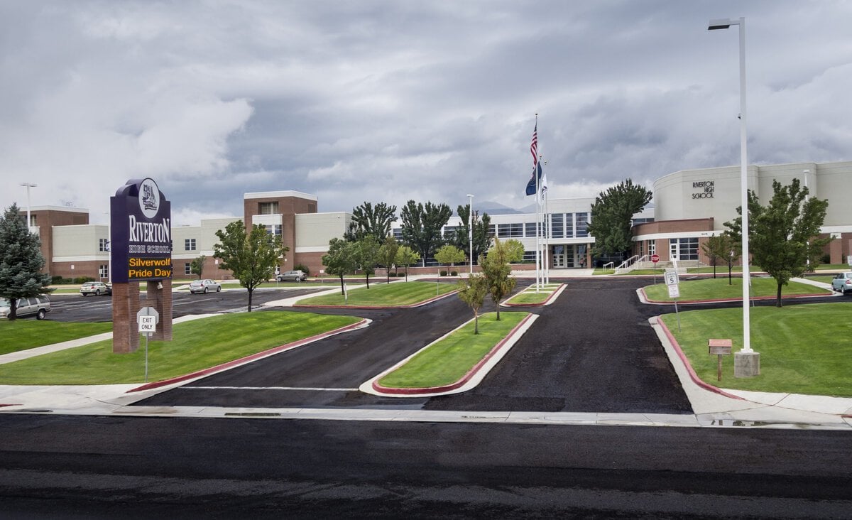
The scale appears in the schools.
In the 2023-2024 NCES data, the local high school enrolled 2,326 students, while South Hills Middle enrolled 1,154.
School boundaries do not necessarily follow municipal boundaries, so a specific address still needs an assignment check.
The broader point is simpler: the afternoon movement of students is large enough to shape roads, sports schedules, and family calendars.
Several public anchors sit close to that routine.
The county library branch at 12877 South 1830 West stays open until 9 p.m. Monday through Thursday and until 6 p.m. on Friday and Saturday.
It is useful precisely because it is ordinary: homework space, children's programs, computer access, holds, and a stop that can be combined with errands on the Redwood Road side of town.
Outdoor options are distributed rather than concentrated in one central district.
The 31-acre flagship city park hosts major community events.
Old Farm Park and Western Springs Park add neighborhood-scale recreation, and the municipal splash-pad system gives families several summer choices instead of one destination.
These places do not create urban street life.
They create repeat visits, which matters more to many households.
The West Side Built Its Own Center
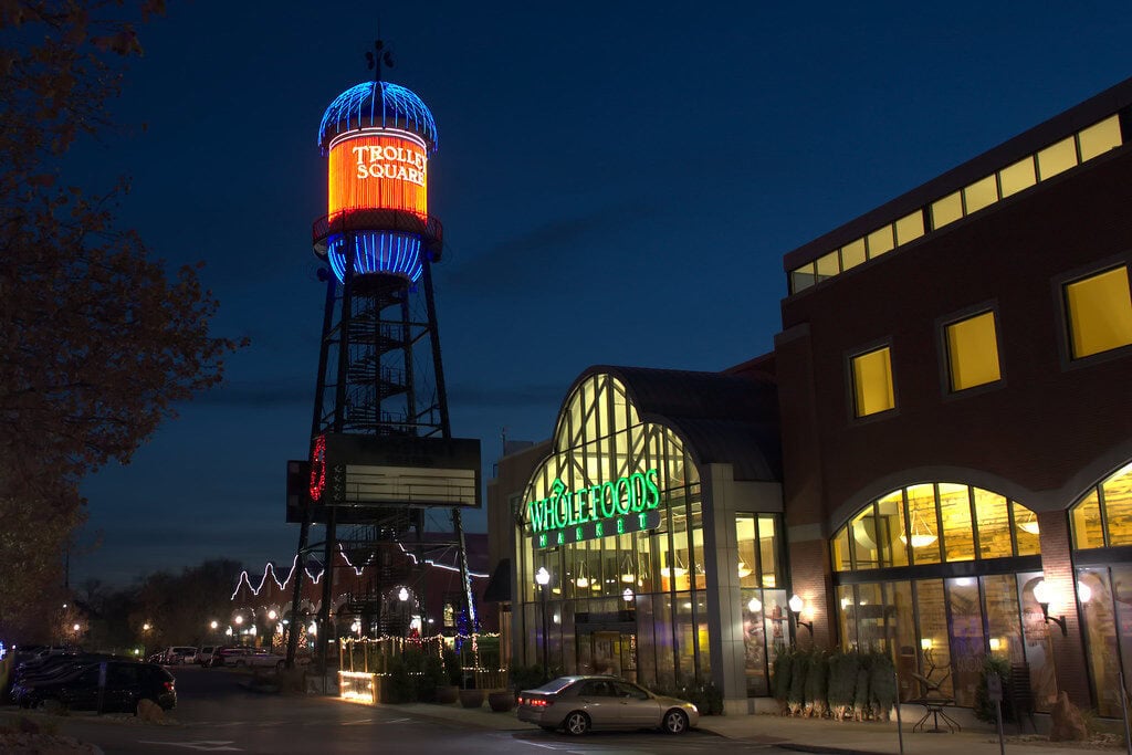
Mountain View Village has become the clearest answer to the question, "Where do we go tonight?"
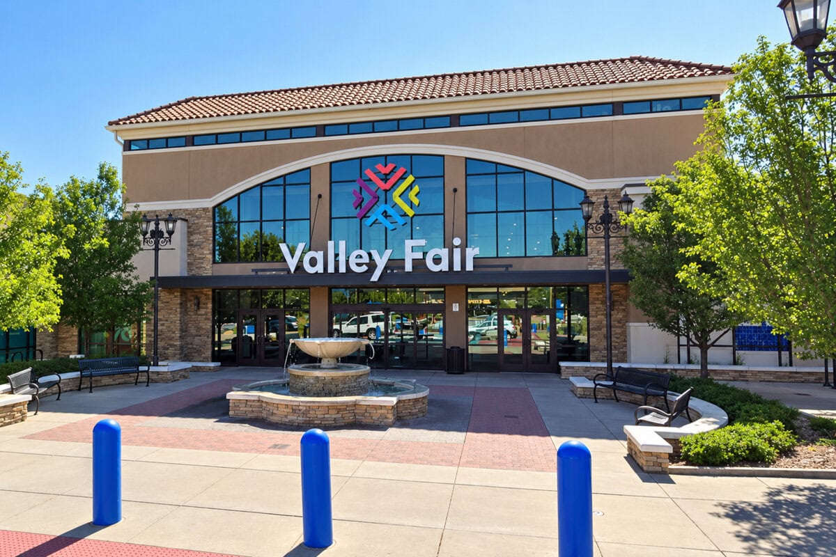
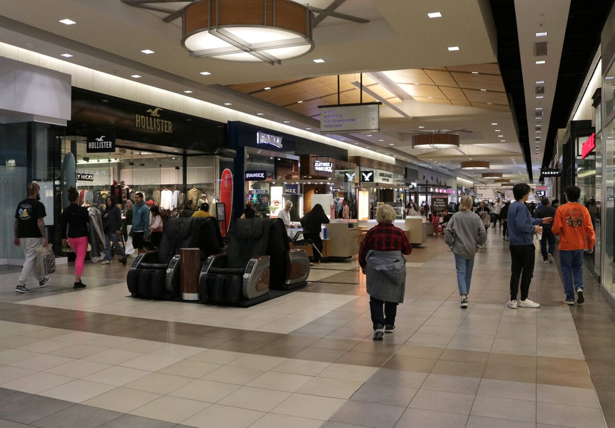
Its current directory combines a Harmons grocery store, a Cinemark theater, restaurants, clothing stores, services, and public gathering areas.
That mix allows one trip to cover groceries, dinner, and entertainment.
It is a shopping center, not a traditional downtown, but dismissing it as merely retail misses its practical role.
On the newer western side, it functions as the city's most complete shared destination.
The 13400 South interchange reinforces that role.
UDOT describes Bangerter Highway as a corridor connecting Mountain View Village with other southwest-valley destinations and Salt Lake City International Airport.
Mountain View Corridor runs along the western edge and is being developed over time into a larger freeway system.
This geography creates a city with two different daily orientations.
Older neighborhoods look toward Redwood Road and the civic area.
Newer growth looks toward Mountain View Village and Mountain View Corridor.
Residents can meet many needs locally, but there is no single main street tying the whole place together.
That split is important for relocation.
Two homes with the same city name may produce different errand routes, school drives, and freeway choices depending on which side of Bangerter Highway they occupy.
Saturday Does Not Require A Regional Expedition
A realistic local Saturday can remain within city limits.
Groceries and a movie can happen at Mountain View Village.
A library stop works on the eastern side.
Warm-weather families can choose among splash pads or use the flagship park, while organized recreation pulls traffic toward municipal fields and facilities.
The hospital is close enough to be a local institution rather than a regional journey when routine or urgent care is needed.
None of this creates the density of a walkable entertainment district.
The places are separated, and the car remains the connector.
Yet the city is no longer the kind of bedroom suburb where every useful destination lies somewhere else.
It has accumulated enough civic, medical, retail, and recreational infrastructure to keep an ordinary weekend close to home.
Evenings remain more functional than spontaneous.
The library closes at a known hour. The theater and restaurants provide a reliable night out.
Parks and community events bring people together at scheduled times.
What is largely absent is the casual sequence of walking from a neighborhood street to several independent venues and deciding what to do after arrival.
For many families, predictability is not a defect.
It is the reason the place works.
What Becomes Clear After Six Months
The first frustration is cost.
A typical home value near $630,000 changes the meaning of "family-friendly." The schools, parks, hospital, and shopping may suit family life, but the housing market filters which families can comfortably enter.
The second is mobility.
The city has added local destinations, yet they are arranged along arterials rather than a connected pedestrian core.
Working from home can reduce the burden dramatically.
Households making several daily trips will experience the same map as a chain of turns, signals, and school-zone timing.
The third is growth management.
New interchanges and future Mountain View Corridor work may improve travel, but construction and changing access are part of life in a rapidly developed corner of the valley.
Today's faster connection can become tomorrow's work zone.
Climate adds its own interruptions.
Regional NOAA normals put the July high at 94 F and record more than 60 days a year reaching at least 90 F. Winters bring freezing nights and substantial valley snowfall.
EPA redesignated the Salt Lake City area as meeting the 2006 daily PM2.5 standard in 2025, a real improvement, though winter inversions still occur.
Earthquake exposure is not a daily inconvenience, but it belongs in a serious moving decision.
USGS identifies strong shaking, surface rupture, and liquefaction among the Wasatch Front hazards.
Buyers should treat that as a reason to examine construction, insurance, and preparedness, not as a prediction about a particular property.
Official FBI data also need careful language.
The agency's 2024 city table listed 32 violent offenses and 401 property offenses reported by the local police agency for a covered population of 44,711.
Those counts describe reported offenses under federal definitions.
They do not measure unreported crime, predict a specific neighborhood, or justify a simplistic safety ranking.
The Place Behind The Roads
The city is Riverton.
It is a strong fit for households that want a detached-home suburb with large schools, multiple parks, a local hospital, and a substantial shopping and entertainment center.
It works particularly well when at least one adult has schedule flexibility, works from home, or accepts driving as the basic tool of daily organization.
It is a weaker fit for buyers seeking an inexpensive first home, renters expecting broad low-cost options, or anyone who wants daily life to unfold on foot.
The city has destinations, but they do not form a continuous urban neighborhood.
Its convenience comes from having the right places within a short drive, not from having everything outside the front door.
That distinction is the real moving decision.
Riverton is no longer an unfinished edge suburb dependent on the rest of the valley for every errand.
It has built a recognizable daily circuit of its own.
The price of using that circuit is expensive housing and a life organized around roads.
References
Zillow, Riverton Home Values, June 2026 Zillow Home Value Index and Zillow Observed Rent Index, June 2026. Data Provided by Zillow Group.
U.S. Census Bureau, QuickFacts: Riverton City, Utah, 2020-2024 population, household, housing, income and commuting data, plus the 2025 population estimate.
U.S. Census Bureau, Units in Structure, 2024 American Community Survey five-year housing-structure estimates.
U.S. Census Bureau, Means of Transportation to Work, 2024 American Community Survey five-year commuting estimates.
National Center for Education Statistics, Search for Public Schools Near ZIP Code 84095, 2023-2024 school enrollment data.
Centers for Medicare & Medicaid Services, Intermountain Health Riverton Hospital, federal hospital listing.
Riverton City, Park Locations and Map, municipal park locations and flagship park information.
Riverton City, Splash Pads, municipal splash-pad locations.
Salt Lake County Library, Library Locations, Riverton branch address and current operating hours.
Mountain View Village, Directory, current shopping, dining, service and entertainment directory.
Riverton City, 2025 Transportation Master Plan and Active Transportation Plan, municipal walking, cycling and transportation planning scope.
Utah Department of Transportation, UDOT Reopens East-West Travel on 13400 South, September 2025 Bangerter Highway interchange update.
NOAA National Centers for Environmental Information, 1991-2020 Monthly Climate Normals for Salt Lake City International Airport, regional temperature, precipitation and snowfall normals.
U.S. Environmental Protection Agency, EPA Declares Salt Lake City and Provo Areas Meet Air Quality Standards After 15 Years, November 2025 PM2.5 attainment action.
U.S. Geological Survey, Geologic Hazards of the Wasatch Front, Utah, regional earthquake, surface-rupture and liquefaction hazards.
Federal Bureau of Investigation, Crime Data Explorer, 2024 reported city and agency crime data.
Independent Publisher Notice
BestAttractions is an independent editorial publisher. We are not affiliated with, endorsed by, or acting on behalf of any location, business, property owner, manager, government agency, or organization described in this article. Comments posted on this page are not forwarded to, reviewed by, or acted upon by any entity mentioned in the article. For official inquiries, complaints, applications, bookings, or other requests, please contact the relevant entity directly through its official website or other verified channels.