Metairie, Louisiana, is located just outside New Orleans. The area has evolved into a large suburb with over 140,000 residents, surpassing the population of many U.S. cities.
Most people pass through on Veterans Memorial Boulevard or stop at Lakeside Shopping Center. Still, the details often get lost in the sprawl.
What you find here is a grid of neighborhoods, cemeteries with above-ground tombs, strip malls, and fishing camps that once lined Bucktown.
Over time, Metairie established its own Mardi Gras parades, developed shopping centers such as Clearview and Lakeside, and witnessed the rise and decline of Fat City's popularity as a nightlife hub.
The parish offices are here, along with seafood markets and long-standing Italian bakeries.
Here are the twenty facts, each based on a location, building, street, or local custom that continues to impact daily life in Metairie.
Metairie is not an incorporated city, but it is larger than many U.S. cities.
Although Metairie has a population exceeding 140,000, it is officially a census-designated place, not a city.
It has no municipal government of its own, operating instead under the administration of Jefferson Parish.
If Metairie were to become a city, it would be one of the largest in Louisiana, with a population greater than that of many state capitals.
However, Metairie still retains a suburban feel that differs from New Orleans.
The name "Metairie" originates from a French word meaning "sharecropping."
The word "metairie" refers to a small farm where tenant farmers shared the produce they grew with the landowner, a common practice in Louisiana during the 1700s and 1800s.
Early settlers used this farming method on land that was once swampy and undeveloped.
Local place names and old street patterns in Metairie come from the original land grants and farm boundaries.
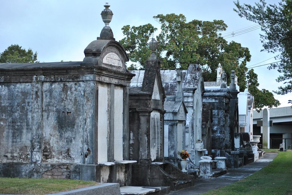
Metairie's "Cemetery Row" features above-ground tombs inspired by New Orleans traditions.
Several historic cemeteries line Metairie Road, and many families have built elaborate above-ground tombs there.
People began using above-ground burial vaults due to the area's high water table and the influence of French and Spanish settlers.
These vaults are a noticeable feature in the region.
Metairie Cemetery, in particular, features ornate monuments, statues, and mausoleums (some rivaling those found in New Orleans) and includes the graves of notable political and business figures from Louisiana's history.
Fat City was once the wild nightlife capital of suburban New Orleans.
During the 1970s and 1980s, Fat City was renowned for its vibrant nightlife, featuring bars, clubs, and restaurants that drew people from all over the metro area.
For a short time, Fat City competed with the French Quarter for nightlife and was known for neon signs, dance halls, and a wide range of visitors.
New developments have changed what the area is known for.
Even so, many people still consider Fat City an integral part of Metairie's history, particularly as a hub for nightlife.
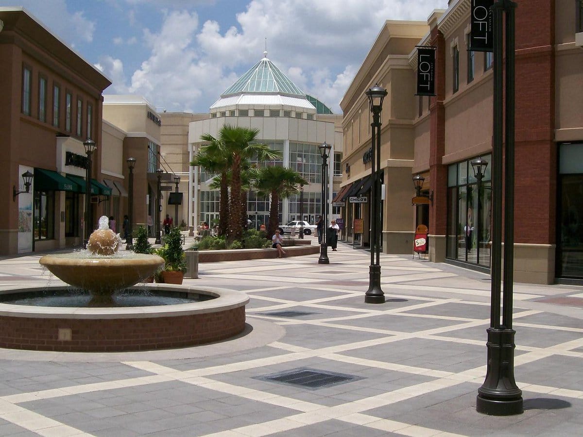
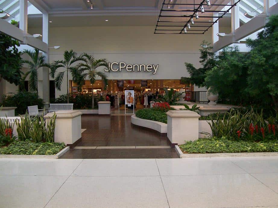
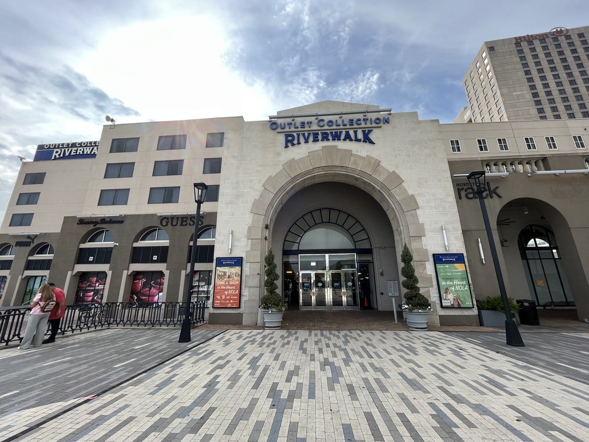
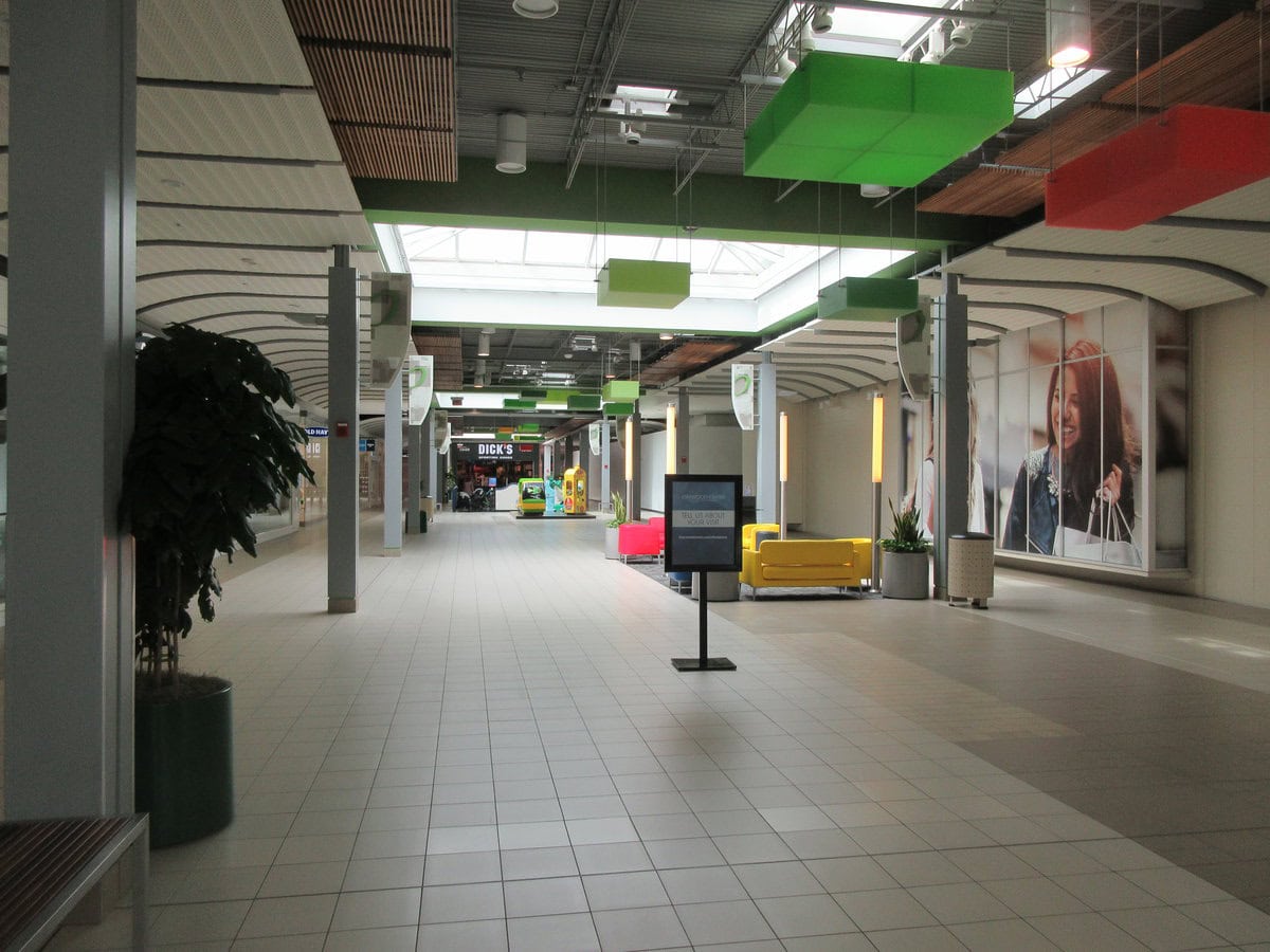
The Lakeside Shopping Center is one of Louisiana's most-visited malls.
Lakeside Shopping Center opened in 1960 and has been a vital retail destination for the area ever since.
Each year, millions of people visit Lakeside Shopping Center, which boasts about 100 stores and several well-known national brands, following numerous expansions.
The mall stayed busy after Hurricane Katrina and became an important place for shopping and businesses in the greater New Orleans area.
Metairie's Mardi Gras parades are among the largest outside New Orleans.
Metairie started holding its own Mardi Gras parades in the 1970s. Large crowds gather along Veterans Memorial Boulevard for them.
Metairie's parades are considered more family-friendly and easier for people to attend than those in New Orleans.
Krewes such as Caesar and Centurions organize large floats and throws in Metairie.
The area is a main spot for suburban carnival events in Louisiana.
The Bucktown neighborhood has deep roots as a fishing village.
Bucktown originated on Lake Pontchartrain as a cluster of fishing camps and seafood shacks that supplied food to residents of New Orleans.
For many years, local fishermen have caught shrimp, crab, and oysters, selling them to restaurants and markets in the city.
Today, Bucktown retains its maritime character with seafood restaurants and a waterfront park, and hosts community events that celebrate its working-class heritage.
Metairie is home to one of the largest Vietnamese-American communities in the state.
After the Vietnam War, Vietnamese refugees moved to Metairie and nearby areas and started neighborhoods, businesses, and churches.
The Vietnamese community has had a major impact on local culture, particularly in the realm of food, with numerous Vietnamese restaurants and markets in Metairie.
Events like Tet, the Vietnamese New Year, are held annually and draw people from around the region to Metairie.
Jefferson Parish's government offices are headquartered in Metairie.
Although Jefferson Parish spans a wide area west of New Orleans, its administrative center is located in Metairie.
Parish government buildings, including the Yenni Building and Jefferson Parish General Government Complex, are located along Veterans Memorial Boulevard.
As a result, many people come to Metairie for government services and administration.
The Zephyrs baseball team played in Metairie for over 20 years.
The New Orleans Zephyrs, a Triple-A minor league baseball team, called Metairie's Shrine on Airline Stadium home from 1997 until 2019.
The ballpark hosted thousands of fans for both minor league and major league exhibition games.
The stadium, now known as the Gold Mine on Airline, continues to serve as a venue for soccer and other sports, maintaining its status as an important site for regional athletics.
The Pontchartrain Rail-Road Opened Up Lakefront Resorts Near Metairie
The Pontchartrain Rail-Road, built in 1831, followed Elysian Fields Avenue and linked New Orleans with popular Lake Pontchartrain resorts like Milneburg and West End.
This early railway made it possible for city residents to reach the lakefront for recreation.
It helped spur the development of nearby communities, including Bucktown and other Metairie suburbs.
Traces of these historic transportation routes still shape the layout and growth patterns of the area.
Lafreniere Park was built on the site of a former horse racing track.
Lafreniere Park is Metairie's largest public park.
It sits on land that used to be the Jefferson Downs racetrack, which ran from 1954 until Hurricane Betsy destroyed it in 1965.
The park includes walking trails, a lagoon, sports fields, and areas for wildlife.
The park is used for festivals, concerts, and recreation throughout the year.
Airline Drive was once the region's primary highway before the construction of Interstate 10.
Prior to the construction of I-10 in the 1960s, Airline Drive (U.S. Highway 61) was the principal route linking New Orleans with Baton Rouge and points beyond.
Diners, motels, and car dealerships along Airline Drive were crucial to Metairie's early suburban development.
Although Interstate 10 is now the main route, Airline Drive remains a popular choice for businesses, reflecting the area's transportation history.
The Italian-American influence is strong in Metairie's restaurant scene.
Many restaurants and bakeries in Metairie were started by Italian-American families who moved there during the 20th century.
Italian heritage has influenced the types of restaurants found in Metairie, including those serving traditional Italian dishes and po-boys.
Community events such as St. Joseph's Day are held locally.
Joseph's Day altars and parades show the continuing influence of Italian culture in Metairie.
The Metairie Ridge is a natural levee that defines the area's development.
Metairie grew along a ridge, which is higher ground created by an old Mississippi River channel.
The higher ground made early settlement possible and explains the winding path of Metairie Road, which follows the historic ridge.
The Metairie Ridge is still known for being a little higher in elevation and is less likely to flood than nearby areas.
Metairie Road Is the Oldest Public Road Still in Use in the New Orleans Area
Metairie Road traces its origins to a centuries-old natural levee, once part of an old Bayou Metairie.
Laid out in the early 1800s, it remains the oldest public roadway in continuous use in the Greater New Orleans area.
The road's winding path follows the natural high ground, setting it apart from the grid of newer suburban streets.
Today, Metairie Road is lined with local shops, cafes, churches, and schools, serving as both a historic thoroughfare and a central corridor for daily life in Old Metairie.
The Mardi Gras bead tree is a local roadside curiosity.
Along Metairie Road, a live oak tree is famously decorated year-round with colorful Mardi Gras beads tossed by parade-goers.
The bead tree is now a local landmark that showcases how carnival traditions are an integral part of daily life in the area.
People often stop to take pictures of the tree, which gets more beads every Mardi Gras.
Metairie's Mardi Gras krewes pioneered the "family-friendly" suburban parade model.
While New Orleans' Mardi Gras is known for large celebrations, Metairie's krewes, especially those on Veterans Memorial Boulevard, started a more accessible suburban Carnival.
Parades here generally take place during daylight hours, attracting large crowds of families with children, and feature local organizations, schools, and businesses.
Other suburbs in Louisiana have adopted this model, organizing parades that focus on safety and family.
The Clearview City Center is a historic retail site that has been transformed into a modern urban hub.
Clearview Shopping Center opened in 1969 and was one of the first enclosed malls in the Greater New Orleans area.
After serving as a standard mall for many years, it underwent a major redevelopment in 2020 and was renamed Clearview City Center.
The redevelopment added apartments, offices, medical buildings, and public spaces to the site, showing a shift toward mixed-use development in Metairie.
The Bonnabel Boat Launch connects Metairie to Lake Pontchartrain recreation.
At the northern edge of Metairie, the Bonnabel Boat Launch provides public access to Lake Pontchartrain for boating, fishing, and water sports.
The facility features ramps, piers, picnic areas, and green spaces for outdoor activities.
Because it is located at the end of Bonnabel Boulevard, the boat launch is a popular spot for residents and visitors who want to spend time at the lake.

