
La Puente is small enough that city limits can be a poor way to explain daily life. The U.S. Census Bureau puts the city at 3.48 square miles.
La Puente's housing documents describe it as fully urbanized and bordered by West Covina to the north, Valinda to the north and east, and City of Industry to the south and west. That geography changes the meaning of "living in La Puente."
A grocery run, doctor's appointment, restaurant choice or trip to work can cross a municipal line without feeling like a trip to another town. The street network continues, and the surrounding communities are urbanized too.
Daily life is better measured by the radius of an ordinary week and how soon that radius crosses the city line.
La Puente has a center, but daily life is not organized around one center
There is a recognizable civic and older commercial core around Main Street.
City Hall, the Senior Center and La Puente Library sit close together, and the city's Downtown Business District plan treats Main Street as a distinct place.
But the practical geography is broader.
The General Plan identifies the Hacienda/Glendora corridor, Amar Road and shopping districts along major streets as important commercial areas.
Retail, services and office uses are spread along these corridors, giving several parts of town a practical role.
That means a resident can have a very local week without having a downtown-centered week.
Someone near Hacienda Boulevard may combine groceries, personal services and takeout on one north-south run.
Another household may use Amar Road as its practical center.
Downtown can still matter for the library, civic business or a Main Street stop. For many households, its role is one stop among several.
What can actually stay inside La Puente?
A fair amount of routine life can remain inside the city when your preferred destinations line up with the local street network.
The city maintains La Puente Park, the Community Center, the Senior Center and the Puente Creek Nature Education Center.
Current city pages list youth sports, recreation classes and special events.
For a household whose week is mostly school, groceries, park time, library visits, takeout and routine services, La Puente can cover a surprising amount.
The catch is that "available in La Puente" and "the place you actually use is in La Puente" are different tests.
In a dense urban area, people choose by route, habit, appointment availability, store preference and how easily stops can be combined.
If the preferred supermarket is two intersections beyond the line, the line loses.
If the doctor with the available appointment is in West Covina, the line loses again.
A local routine is possible, though many households will still find the shortest or preferred option across a boundary.
West Covina can feel like the north side of your weekly map
West Covina shows why municipal geography and lived geography separate.
It directly borders La Puente on the north, so for residents near that edge, crossing into West Covina can simply be the next part of the same drive.
Healthcare makes the point concrete.
California's Department of Health Care Access and Information lists Emanate Health Queen of the Valley Hospital in West Covina as an open general acute care hospital.
For some households, a medical routine therefore extends north into West Covina.
Shopping and dining follow the same route logic.
Preferred places may sit north of the line and already lie on the route to work, school or another appointment.
For a household near northern La Puente, West Covina can become part of ordinary local life long before it feels like a separate destination.
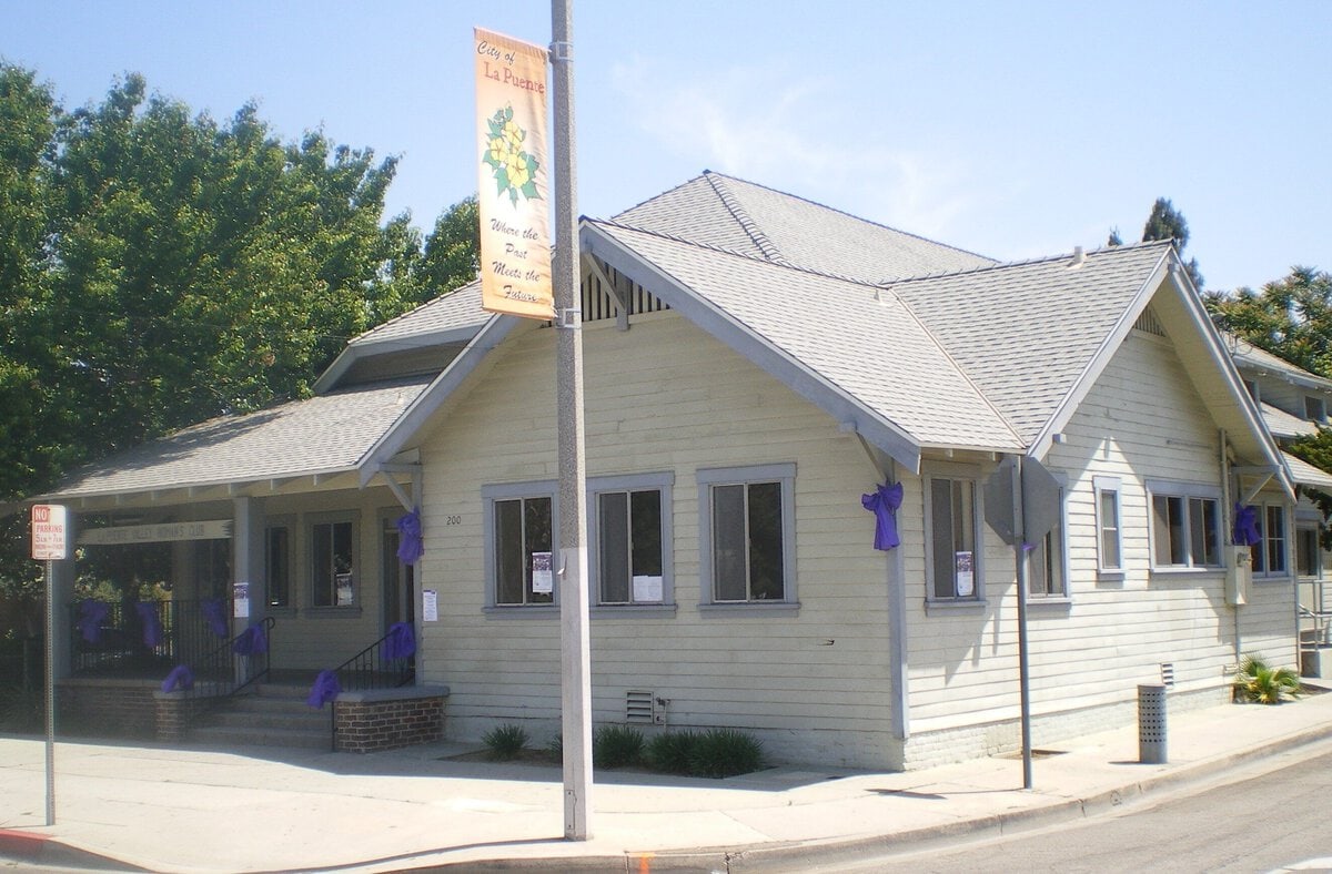
Valinda may be the boundary you notice least
Valinda is different because it is an unincorporated Los Angeles County community directly next to La Puente.
City planning documents have long treated it as closely related to La Puente's planning area, and current housing documents still describe it as bordering the city on the north and east.
For the resident, the useful point is simpler than the planning terminology.
Residential streets, commercial routes and everyday destinations continue across a jurisdictional line that may not announce itself with a freeway, river or other strong physical break.
That makes the east side especially dependent on address-level geography.
You can leave La Puente for an errand and still remain in what feels like the same neighborhood environment.
Here, daily geography turns on the arterial you use and where recurring destinations sit; the municipality on the next sign can fade into the background.
City of Industry changes the south and west side of the week
La Puente's housing documents place City of Industry along its south and west sides and identify Interstate 10 and State Route 60 as regional access routes.
City of Industry's land-use system includes employment, industrial and commercial designations.
For residents whose work or larger errands point south or west, that changes the weekly map.
Crossing a city line can happen during a short commute or service trip within the same regional street network.
A city-line crossing can be the shortest trip of the day. A destination just outside the boundary may be closer than one on the far side of La Puente.
Your edge of La Puente can matter more than your distance from downtown
Because the city is so small, the same "La Puente" address can produce very different weekly patterns.
| Where your routine starts | What is likely to shape the week |
|---|---|
| Near Main Street and the civic core | Library, city services, local food and community events can carry more of the routine. |
| Near Hacienda or Amar | Corridor errands can dominate, with several practical stops combined along one arterial. |
| Near the north edge | West Covina can enter the routine quickly for hospital care, shopping, dining and appointments. |
| Near the east or northeast edge | The distinction between La Puente and Valinda may matter less than the exact street and destination. |
| Near the south or west edge | City of Industry, employment and freeway-bound trips can enter the routine early. |
Treat the table as a starting point: exact streets and recurring destinations will decide more than distance from downtown.
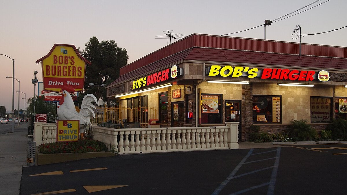
Weekdays reveal the regional city faster than weekends
The Census Bureau reports a mean travel time to work of 30.9 minutes for La Puente workers age 16 and older in the 2020-2024 period.
The statistic gives no destination data. It does show that municipal size alone says little about the time absorbed by a weekday commute.
A normal weekday can begin inside La Puente, cross into an employment area, add an errand in West Covina on the return trip and end back at a city park or restaurant.
Those crossings can still feel like one continuous local circuit.
Weekends can make La Puente itself more visible.
Parks, recreation programs, library activities and city events give residents reasons to spend more of a weekend inside La Puente.
Longer leisure trips - a major event, mountain trail, regional shopping destination or entertainment venue - expand the radius again.
The city line matters much more for government than it does for errands.
It determines which municipality handles planning, permits, street maintenance, parks and other public functions. Consumer life is less obedient.
That distinction is also why La Puente's current Mixed-Use Places project is interesting.
The city is working on changes intended to allow more residential, commercial and community uses on underused commercial properties, with the aim of creating more walkable activity areas.
The existing city is corridor-based enough that creating tighter mixed-use nodes is now an explicit planning goal.
So, how much of your week is actually "La Puente"?
Your weekly route follows work, school, appointments, groceries and recreation, with the city name on the address playing a smaller part.
If work, school, groceries, routine services and recreation all line up inside the city, La Puente can feel surprisingly self-contained.
If the preferred doctor is in West Covina, work is in City of Industry and favorite errands sit just beyond the eastern line, the city may occupy only part of a normal Tuesday.
That pattern is the defining geography of daily life here.
La Puente is smaller than many people's ordinary weekly radius.
To understand how life actually works, ignore the city boundary for a moment and draw the repeated chain from your front door to work, school, groceries, appointments, parks and dinner.
In this part of the San Gabriel Valley, that personal map often explains daily life better than the municipal one.
Sources and further resources
- City of La Puente - Official city website.
- Planning Division - Current planning projects and Mixed-Use Places information.
- City of La Puente General Plan - Commercial corridors and community development structure.
- La Puente Downtown Business District Specific Plan - The city's adopted downtown planning framework.
- La Puente 2021-2029 Housing Element Initial Study - Municipal boundaries, surrounding communities, land-use pattern and regional access.
- U.S. Census Bureau QuickFacts: La Puente city, California - Land area and commute data.
- Parks - City park and recreation facilities.
- Emanate Health Queen of the Valley Hospital - California HCAI facility record for West Covina, accessed September 2, 2026.
- City of Industry General Plan Amendment GPA No. 22-01 - California CEQAnet record documenting employment, commercial and industrial land-use designations.
Independent Publisher Notice
BestAttractions is an independent editorial publisher. We are not affiliated with, endorsed by, or acting on behalf of any location, business, property owner, manager, government agency, or organization described in this article.
Comments posted on this page are not forwarded to, reviewed by, or acted upon by any entity mentioned in the article.
For official inquiries, complaints, applications, bookings, or other requests, please contact the relevant entity directly through its official website or other verified channels.