Where Lava Met Memory
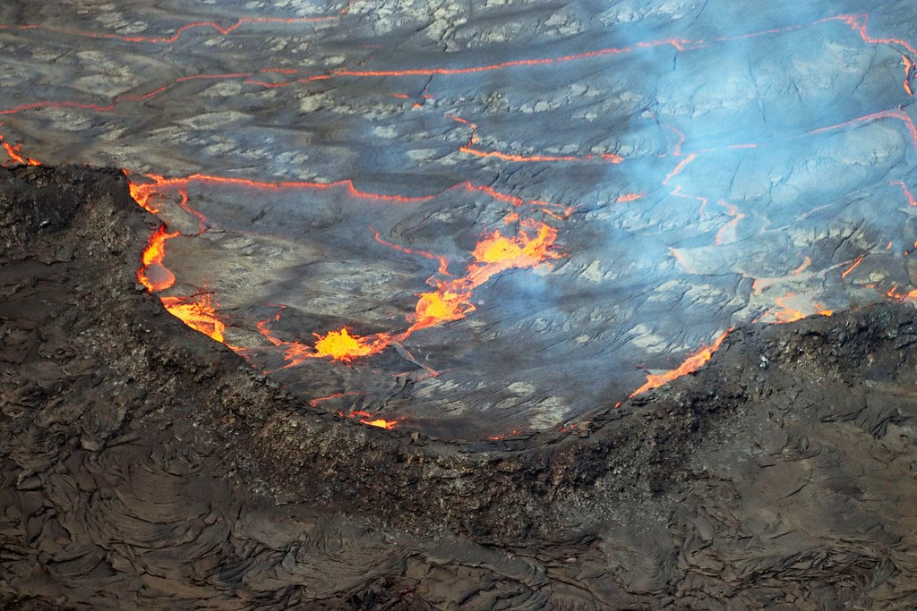
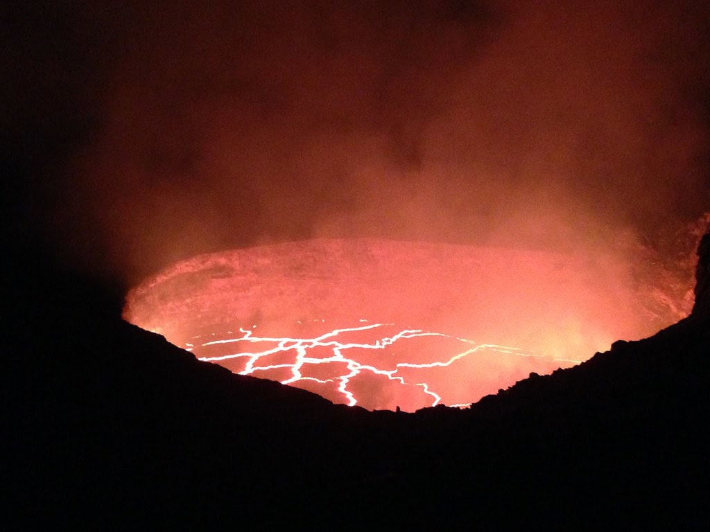
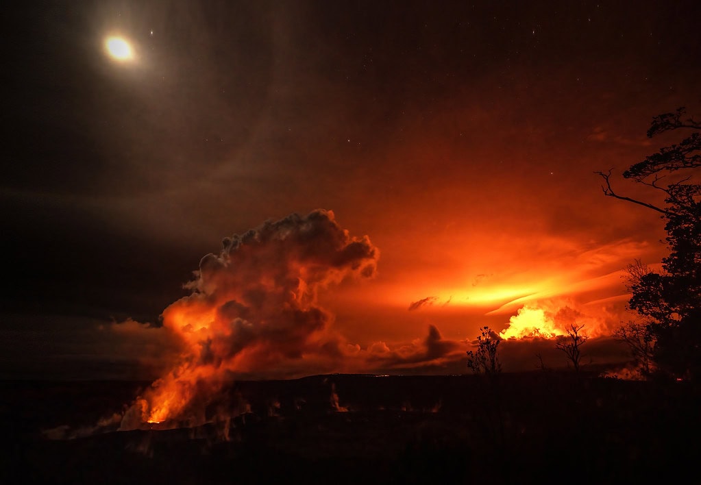
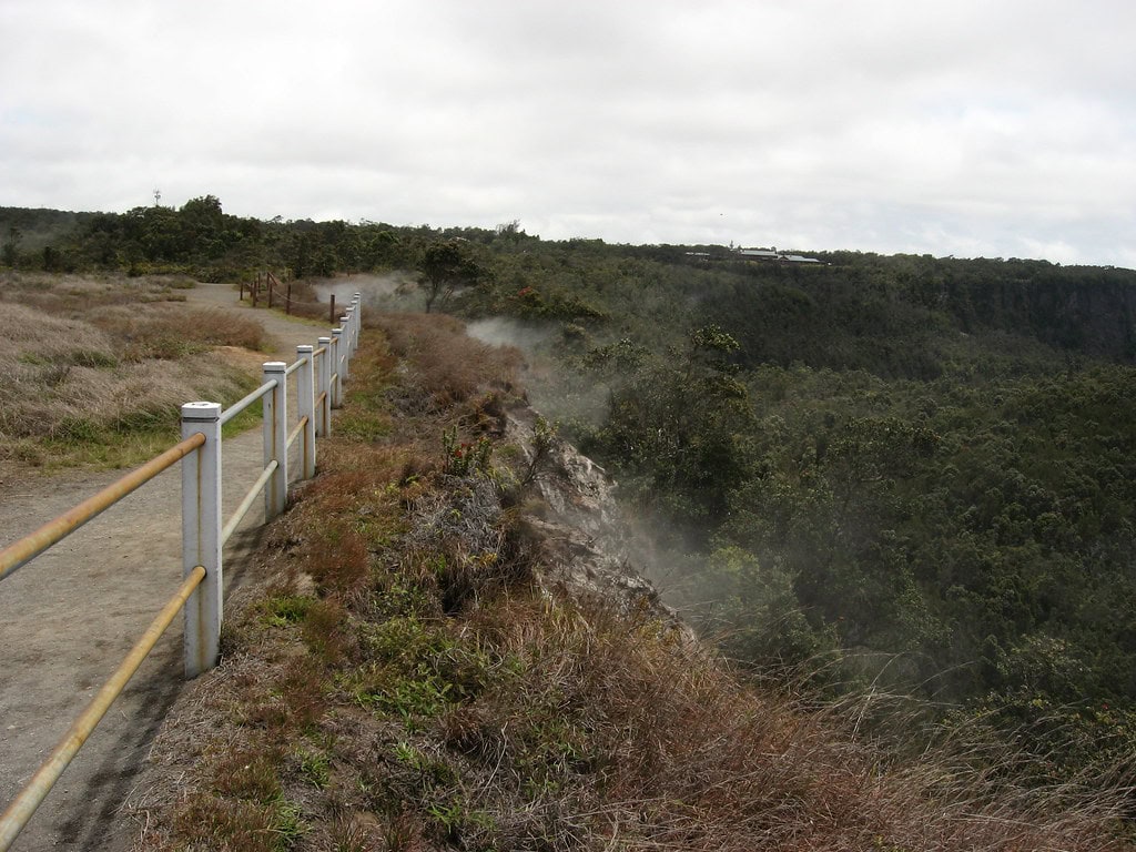
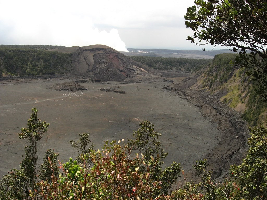
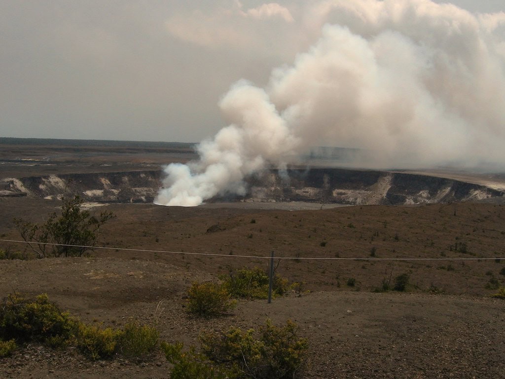
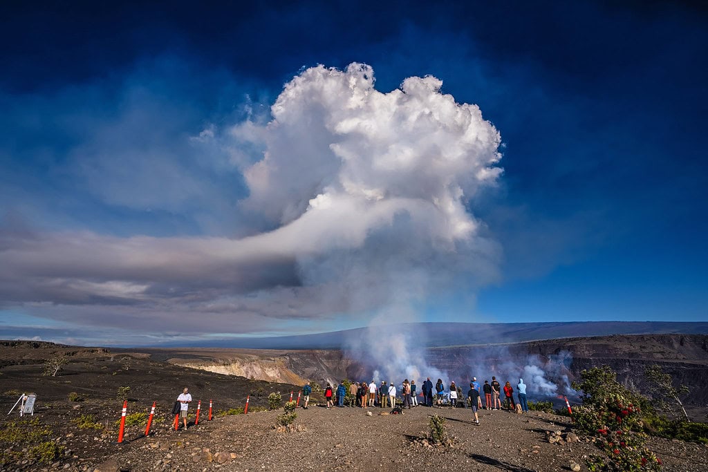
Walk past the old Volcano House, and the edge drops away. Below it, the Halemaʻumaʻu crater simmers - same pit that roared in 2018, cracked open again in 2020, and still spits light from time to time.
This is Hawaiʻi Volcanoes National Park, 354,461 acres of scarred ridges, rainforest, and steam. Lava tubes tunnel underfoot.
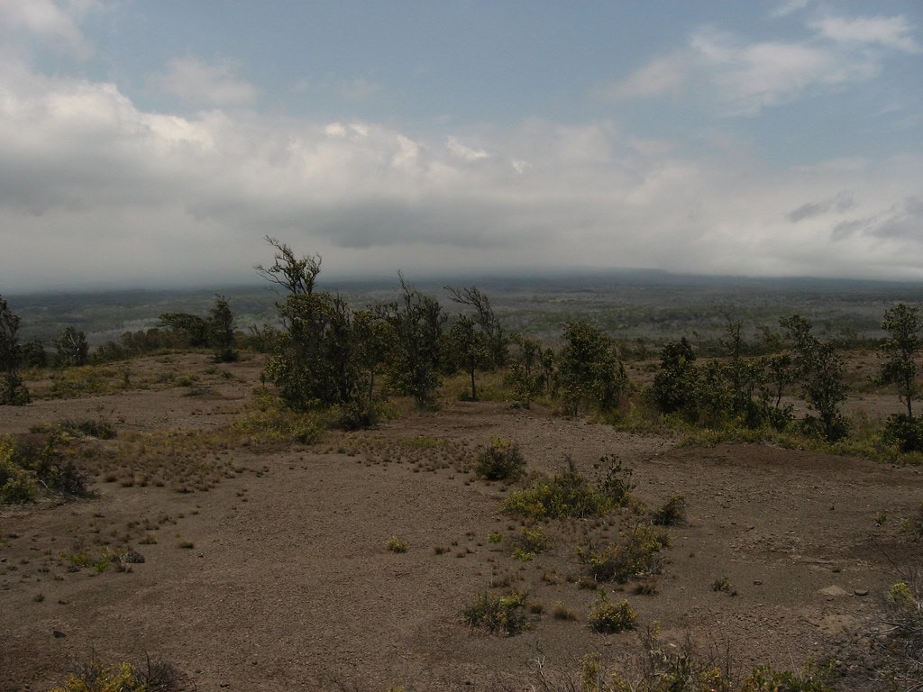
Ash from past eruptions dusts the Kaʻū Desert. Mauna Loa and Kīlauea, both alive, shape the park's terrain and schedule.
In 1916, the federal government drew its borders. In 2022, the Trust for Public Land added Pōhue Bay.
Now the Hawaiʻi Volcanoes National Park holds ancient trails, anchialine ponds, and coastline once lined with fishing shrines.
A footprint pressed into cooled lava still waits by the 1790 trail.
Drawn by Fire: How the Park Was Formed
Nothing about Hawaiʻi Volcanoes National Park was inevitable.
The push started with hotel owners, steam-vent dinners, and columns in The Honolulu Advertiser, not a federal plan.
By 1911, the Territory of Hawaii had hosted dozens of lawmakers, hoping the lava would speak for itself. It did.
Five years later, on August 1, 1916, President Woodrow Wilson signed the bill that created Hawaii National Park, the first in any U.S. territory, and the eleventh overall.
The boundaries wrap around two volcanoes still active today: Kīlauea and Mauna Loa.
What followed wasn't a single moment but a slow layering of purpose. In 1961, the park was renamed after it split from Haleakalā National Park.
The mission stayed steady: protect the land, open it for study, and keep cultural meaning intact.
Some traces of that early planning are still on the map.
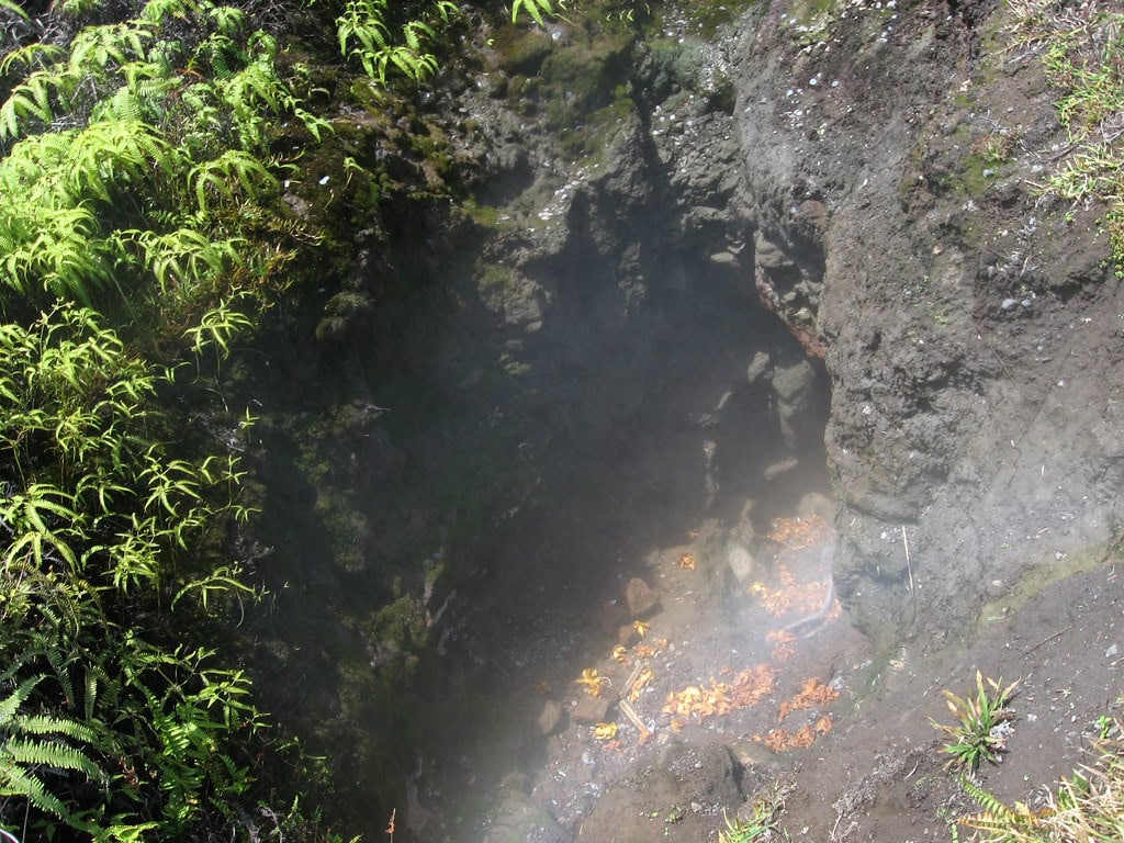
The Thurston Lava Tube, one of the park's most walked paths, cuts through a forest of ferns just beyond Crater Rim Drive.
Behind the railing, the tunnel keeps going, deeper into the hillside, where the light fades and the air shifts.
No signage. No lights. Just the pressure of old rock and the sense that it remembers everything.
Where the Volcano Breathes: Landscapes in Motion
Halemaʻumaʻu doesn't erupt on schedule.
On December 20, 2020, lava surged through the crater floor, boiling away a lake that had quietly filled to 160 feet.
That water had only been there since the year before. Since then, Kīlauea has stayed restless, active some weeks, quiet others, but never quite still.
The Hawaiʻi Volcanoes National Park spans 354,461 acres, climbing from the coastline to Mauna Loa's summit, 13,679 feet above it.
That range carries everything from fern-covered lava tubes to wind-scoured desert, often within the space of a few minutes' walk.
Roughly half of the park, about 131,000 acres, is wilderness, including the high summit caldera of Mauna Loa itself.
The 2018 eruption didn't just leave behind fresh lava.
It fractured trails, shut roads, and damaged the Jaggar Museum so badly that it had to be torn down.
Chain of Craters Road, once a direct line through the Hawaiʻi Volcanoes, now ends at hardened flow, its route to Kalapana sealed for good.
The rupture wasn't repaired. It was accepted.
Lava, Memory, and Belief: Cultural Ground Beneath the Hawaiʻi Volcanoes
Long before Congress charted its borders, Kīlauea was already mapped in story.
The Halemaʻumaʻu crater, now monitored by tiltmeters and thermal cameras, was known as the sacred home of Pele, the volcano goddess.
Offerings were left at the rim. Chant and charcoal marked the trail.
The eruption of 1790, one of the deadliest on record, caught a group of warriors and their families off guard.
The blast left more than ash; it left footprints, pressed into the lava and preserved by chance, now part of the park's protected zones.
Pieces of that deeper map stretch into the newer additions.
Pōhue Bay, added in 2022, holds burial sites, petroglyphs, and a stretch of the Ala Kahakai coastal trail.
The land there still carries the layout of old fishing shrines and mauka-makai paths that once connected the sea to upland settlements.
Inside the visitor center, a painting of Pele once hung from 1966 to 2005. It came down after criticism about its portrayal.
In its place, a new piece by Arthur Johnsen went up, Polynesian features, a digging stick in one hand, an egg in the other.
No plaque explains the change. The room just feels different now.
Routes In, Routes Lost: How Visitors Move Through the Park
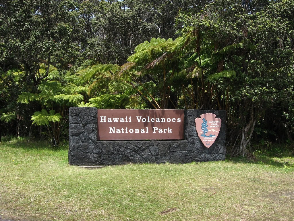
The first view most people get comes just after the entrance sign, where the road bends and opens wide toward Crater Rim Drive.
It looks like a circuit. It isn't. The loop was broken in 2008 and never fully reconnected.
Explosions that year scattered debris across the overlook and forced long-term closures on large segments of road and trail.
Chain of Craters Road still functions, but only to a point. The route that once passed through Kalapana ends abruptly where lava poured over it.
That covered section now serves as an emergency corridor, not a throughway.
Other roads, Mauna Loa Road, Hilina Pali Road, move through quieter zones, but closures, rockfall, and weather limit how far you get.
The Thurston Lava Tube, or Nāhuku, reopened on February 21, 2020, after seismic cracks and rockfall had shut it down.
New drainage and monitoring equipment were installed. Crater Rim Drive, past the Jaggar overlook, remains blocked.
The museum itself came down in 2024 after damage from the 2018 eruption made the structure unsafe. Nothing replaced it.
The Volcano Art Center still stands in the 1877 hotel. Most don't realize the building once held bedrooms.
The walls are thick, and the wood still smells like rain.
Blown Open: Eruption, Shutdown, and the Long Wait Back
May 2018 didn't leave time for a warning.
On the 11th, Halemaʻumaʻu fractured under pressure, rocks collapsing inward, ash rising, tremors stacking one after another.
More than 60,000 earthquakes hit the summit zone that month. Within days, the core of the Hawaiʻi Volcanoes National Park shut down.
No lava buried buildings. The collapse did more damage than the flow. Trails warped.
Lookouts fell silent. Seismic cracks splintered through Nāhuku, closing the lava tube to visitors.
Rangers pulled back. Road crews moved in. What could be cleared was cleared. What couldn't be fixed was roped off.
By September 22, some gates reopened. But the shape of the Hawaiʻi Volcanoes had changed.
Gas levels dropped to record lows, yet whole sections stayed closed, less for safety, more because the land wasn't ready.
A year later, a pale lake formed in the crater. By December 2020, it was gone, boiled off by the next eruption.
The pattern hasn't held since. Sometimes the lava glows. Sometimes the crater just steams.
Land Added, Boundaries Redrawn: Expansions and Preservation
The lines moved again in 2003.
That year, the Hawaiʻi Volcanoes National Park took in 115,788 acres of Kahuku Ranch, open pasture, dry forest, and broad slopes that once ran cattle.
It came from the Damon estate, folded into federal ownership at $21.9 million. Trails came later.
The land stayed mostly as it was, fenced in some places, raw in others, marked by old ranch roads and still-sounding gates.
Pōhue Bay followed in 2022, a quieter addition, but just as layered.
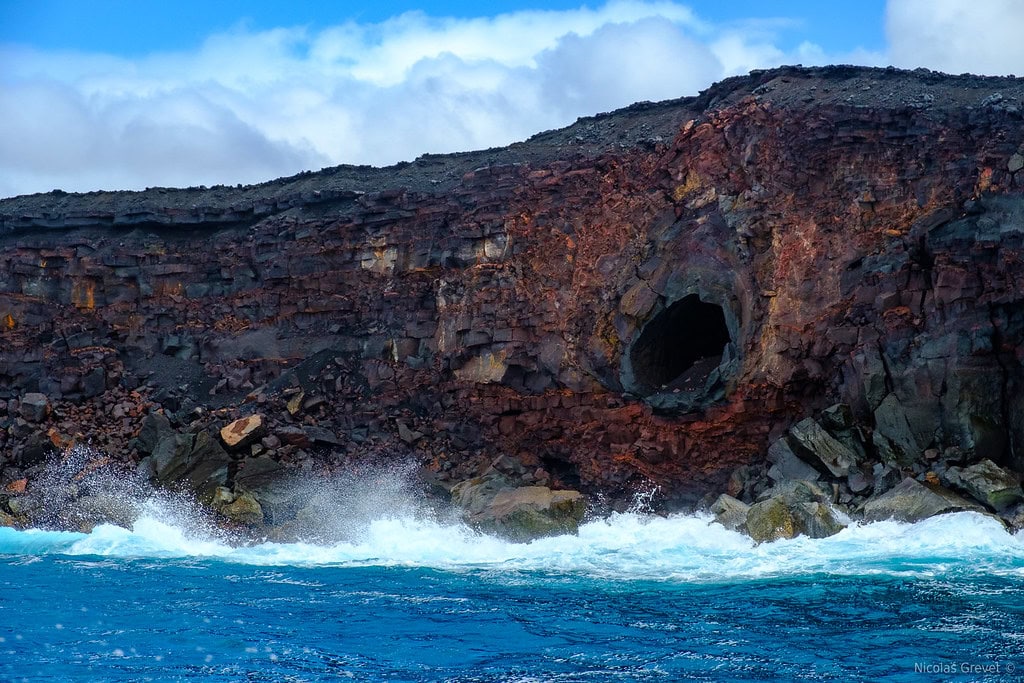
The land covers 16,451 acres, coastal trails, lava tubes, anchialine pools, burial sites, and nesting grounds.
Hawksbill turtles use the sand. Monk seals haul out past the reef line.
The Ala Loa, a path older than the park, crosses through it. No signs frame it from the road.
There's no lot, no kiosk, just low scrub and the sound of birds cutting across the shoreline.
Both expansions changed the Hawaiʻi Volcanoes without crowding it. Kahuku brought slope and space.
Pōhue brought the coast back under protection. Neither was built up.
Neither was paved out. You find them the way most early visitors found Kīlauea, by walking toward the steam and following what lies under your feet.
🍀

