
Hiking in Hot Springs, AR is less about finding one famous trail than choosing the right amount of hiking.
Hot Springs National Park is an urban park: wooded mountain trails rise directly behind downtown, while many routes are short and interconnected. The longer Sunset Trail is the exception.
Start with three questions: How much time do you have? What do you want to see? How much climbing do you want?
Short does not always mean easy here, and the starting point can change the hike.
Quick picks for hiking in Hot Springs
| If you want... | Start with... | Why it fits |
|---|---|---|
| A scenic walk, not a real hike | Grand Promenade | A half-mile paved gateway above Bathhouse Row with direct access to mountain trails |
| One short hike with an overlook | Goat Rock | A compact dirt-and-gravel mountain trail ending at an open view over the Ouachita Mountains |
| A short but steeper climb | Peak Trail | Only 0.6 mile one way, but the climb is concentrated into a short distance |
| Several hours inside the national park | Link North Mountain or West Mountain trails | The short trails work better as connected routes than as isolated checklist stops |
| A longer hiking-first day | A Sunset Trail section or connected Sunset route | The park's longest trail reaches its more remote terrain and can become a major commitment |
| A waterfall | Falls Branch Trail at Lake Catherine | A 2-mile moderate loop through forest and creek crossings to a seasonal waterfall |
| A lake-focused half-day hike | Caddo Bend Trail at Lake Ouachita | A 4-mile strenuous loop along a wooded peninsula with lake views and rocky terrain |
What hiking in Hot Springs is actually like
The national park has two main clusters, Hot Springs/North Mountain and West Mountain, built from short trails that connect into longer outings.
That connectivity matters more than the length of any single segment.
The Grand Promenade above Bathhouse Row feeds routes such as Peak and Oertel. Treat it as a scenic walk and trail gateway.
Peak shows why mileage alone misleads: it is only 0.6 mile one way, but its official typical grade is 12.6 percent. Short and easy are not synonyms.
Oertel Trail is another downtown-side connector; some park maps still show its former name, Dead Chief Trail.


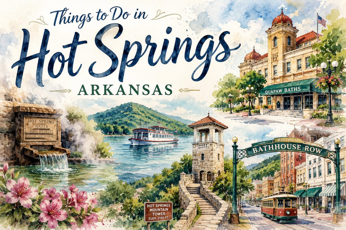
Goat Rock: choose the approach, not just the name
Goat Rock is the strongest first choice when you want an actual trail and a clear viewpoint without giving most of the day to hiking.
The named trail is 1.1 miles one way on rocky packed gravel and dirt, ending at a railed overlook above the forested Zigzag Mountains.
NPS lists access from North Mountain Overlook and Gulpha Gorge Campground.
Starting high near the overlook keeps the emphasis on the view; starting from Gulpha Gorge adds a steep connector and makes the outing substantially harder.
If you have one morning, choose the higher start. If you want the climb to be part of the hike, start lower.
Build a longer hike instead of collecting short trails
If the individual park trails look too short, combine them.
Peak, Oertel, Hot Springs Mountain, Goat Rock and Gulpha Gorge can function as pieces of a larger North Mountain outing.
West Mountain is useful when you want more trail time and less emphasis on the Bathhouse Row side.
Its routes vary from steep access trails to more gradual segments, so compare the exact connections rather than relying on one difficulty label.

Sunset Trail is a section choice or a major commitment
Sunset Trail should not be treated like another short attraction.
NPS lists it at about 10 miles one way and divides it into West Mountain, Sugarloaf Mountain and Stonebridge Road sections.
Combined with other park trails, it can form a strenuous roughly 15–17-mile loop.
Use a section when you want several hours of more remote park hiking; build a long connected route only when hiking is the day's main purpose.
NPS also warns about false spurs beyond the park boundary, so the full route demands more navigation attention.
If Bathhouse Row or a thermal bath matters that day, a section is easier to fit than the full connected commitment.
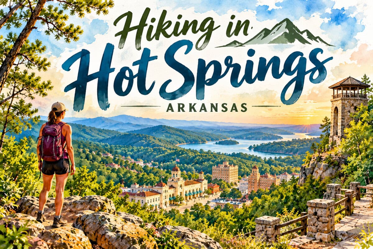
When to stay in Hot Springs and when to drive
| Area | Choose it when... | Main trade-off |
|---|---|---|
| Hot Springs National Park | You want views, climbing and easy integration with downtown | Convenient and flexible, but still an urban national park |
| Northwoods | You want a much larger local trail network | Hikers are welcome, but the system is shared with mountain bikes |
| Lake Catherine | A waterfall is the main reason to hike | Requires a separate drive, and the waterfall is seasonal |
| Lake Ouachita | You want lake scenery and a more nature-first half day | More time away from central Hot Springs |
Northwoods is not bike-only.
Its official site welcomes hikers and trail runners across more than 31 miles of trails, but the shared-use environment is part of the experience.
Choose Lake Catherine when a waterfall is the goal. Falls Branch is a 2-mile moderate route with creek crossings, but the falls are seasonal.
Choose Caddo Bend at Lake Ouachita when lake scenery justifies a larger time commitment: the official 4-mile loop follows a wooded peninsula, and the park warns that its rocky north-shore terrain becomes more difficult.


Let the season change the choice
Summer heat changes real difficulty.
NPS describes summers as very hot and humid, so start earlier, carry water and shorten the plan when conditions demand it.
Foliage can screen wooded ridge views, while open overlooks are more reliable.
Falls Branch is officially seasonal, so check recent conditions if the waterfall is the reason for the drive.
For ticks and other insects, NPS advises staying toward the middle of trails, using repellent and checking yourself after hiking.
Match the hike to the rest of your Hot Springs day
If you have only a morning, the National Park gives the strongest return on time: Goat Rock or a connected North Mountain route can still leave room for Bathhouse Row.
If hiking is the point of the day, build a longer park route, use Northwoods for more mileage, choose Lake Catherine for a waterfall, or make Lake Ouachita the main outdoor outing.
These are not interchangeable "best trails." Choose the experience first, then the route.
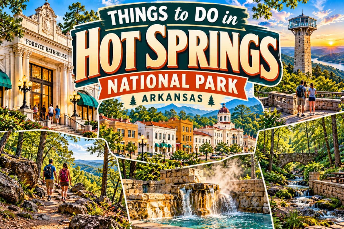

Frequently asked questions
What is the best hike in Hot Springs for a first visit?
For one real hike with a clear overlook and limited commitment, Goat Rock is the strongest fit.
Use the higher access if the view matters more than the climb.
Can you hike directly from downtown Hot Springs?
Yes. The Grand Promenade above Bathhouse Row connects into the Hot Springs and North Mountain trail system, including access toward Peak and Oertel.
Do you need to hike the whole Sunset Trail?
No. A section can make more sense than committing to the full trail or a 15–17-mile connected loop.
Is Northwoods only for mountain bikes?
No. Northwoods officially welcomes hikers and trail runners, but it is a shared-use trail system, so expect a different experience from National Park hiking.
Research sources and further reading
- Hot Springs National Park - Hot Springs and North Mountain Trails
- Hot Springs National Park - Directions to Trails
- Hot Springs National Park - Sunset Trail
- Northwoods Trails - official trail system site
- Arkansas State Parks - Falls Branch Trail at Lake Catherine
- Arkansas State Parks - Caddo Bend Trail map and guide
Independent Publisher Notice
BestAttractions is an independent editorial publisher. We are not affiliated with, endorsed by, or acting on behalf of any location, business, property owner, manager, government agency, or organization described in this article.
Comments posted on this page are not forwarded to, reviewed by, or acted upon by any entity mentioned in the article.
For official inquiries, complaints, applications, bookings, or other requests, please contact the relevant entity directly through its official website or other verified channels.